Author Archives: Tom

Day 13 – May 15 – Downhill to Yaragaon

We packed and left the house where we had spent the last 6 nights. We considered ourselves very fortunate to have been able to spend this time with an extended family, even if we had to deal with the Alzheimer's-afflicted grandmother coming into our room three times a day wondering who we were.

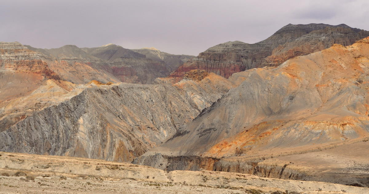
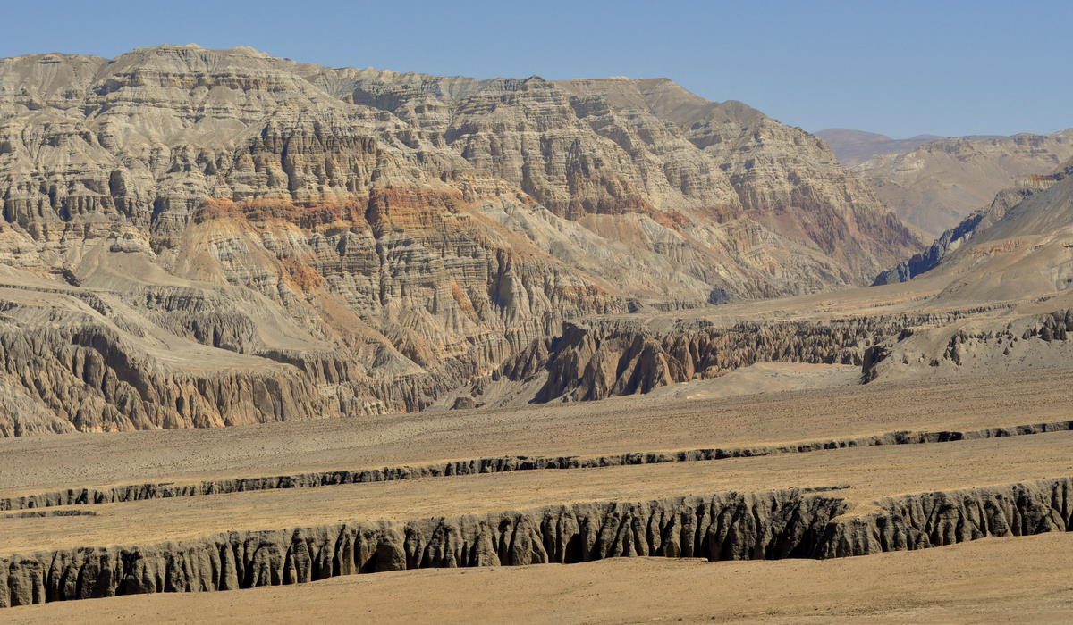
We had chosen to take a longer route back down the east side of the valley. The first day of this involved a gradual climb up a ridge and then a steep descent to the river through a slot canyon that could have been in Utah.

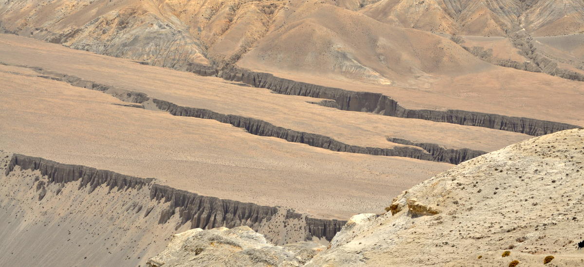
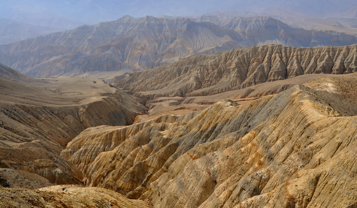
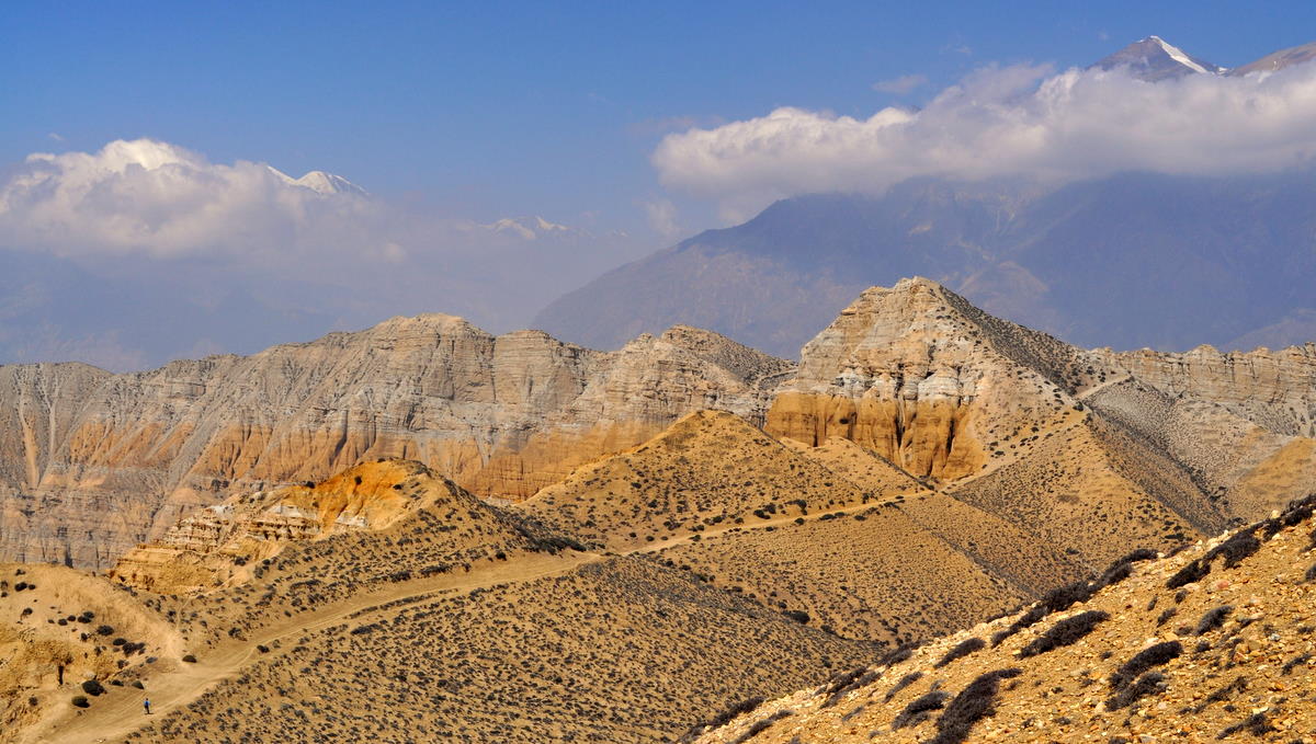
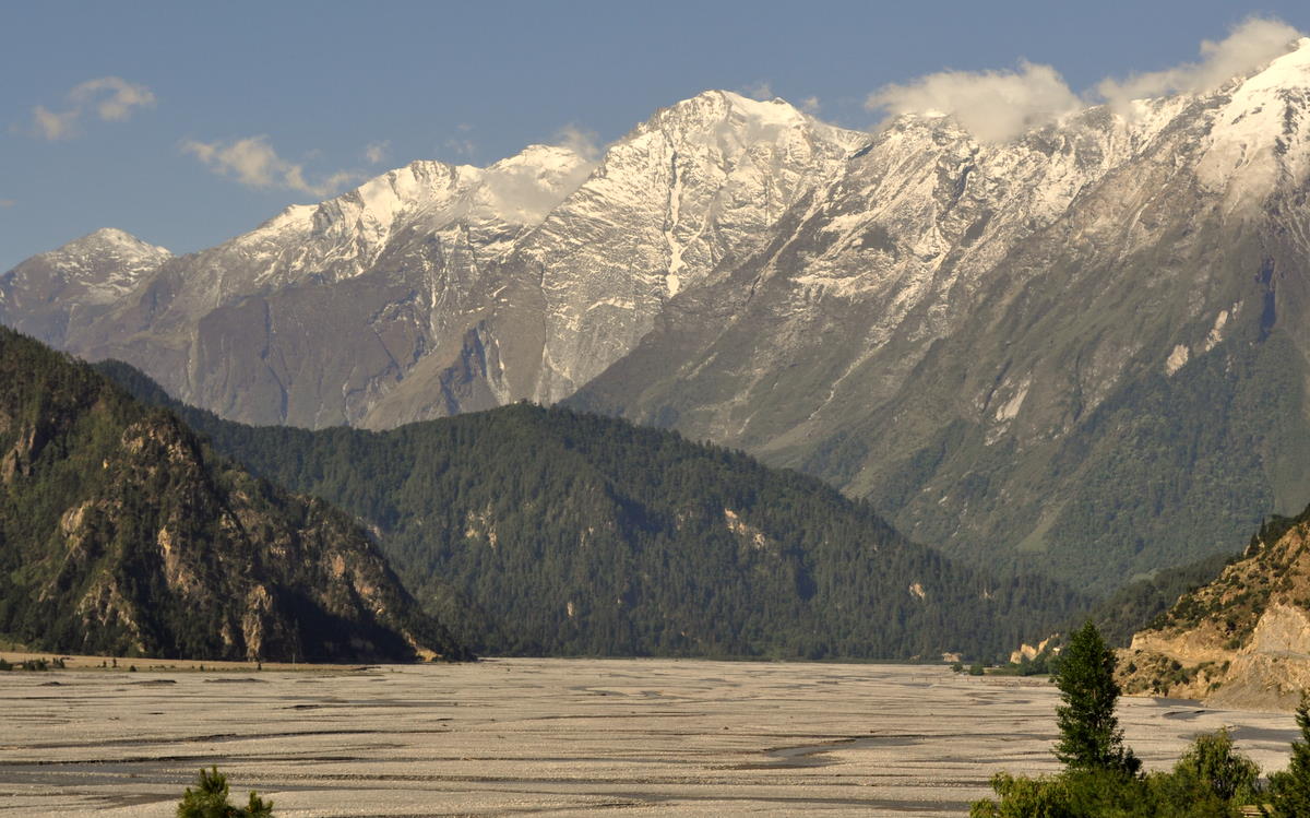
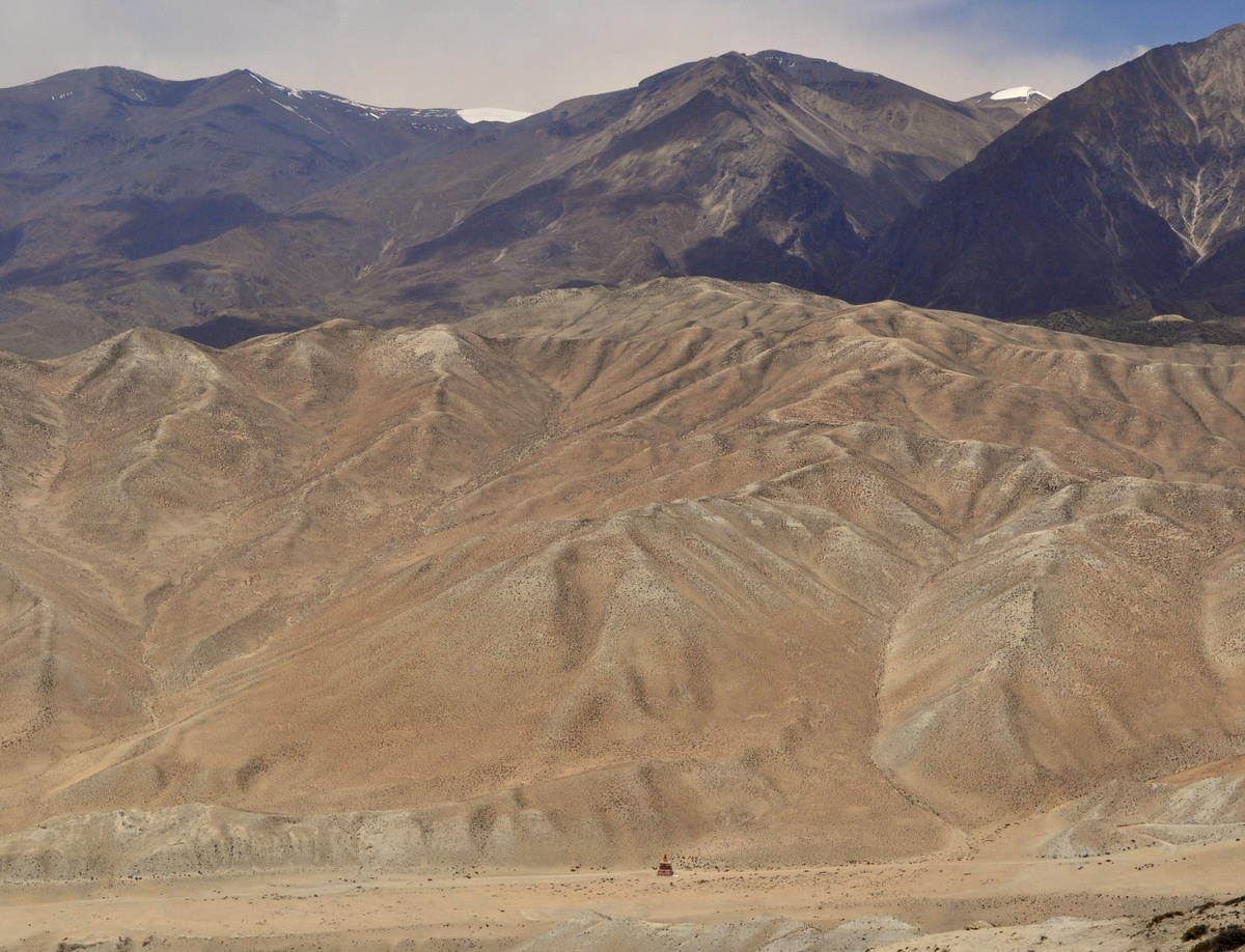
The desert mountain scenery was varied and fantastic. I'll let the pictures speak for themselves.


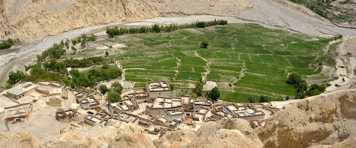
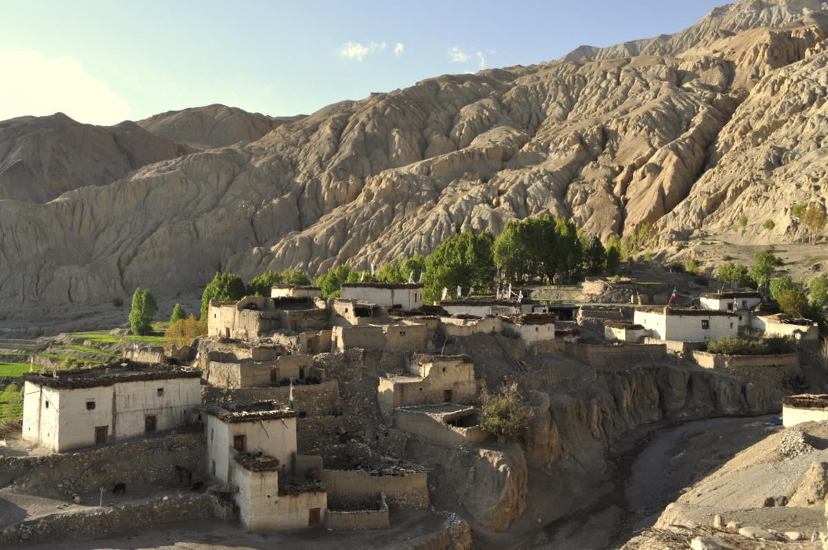
We spent the night in a small village called Yaragaon about an hour up a side canyon. Opposite was a wind-sculpted cliff that could have been an impressionist painting. In the cliff was another extensive set of cave dwellings.


Day 14 – May 16 – Up and over to Tangge

We knew the days back on the East side would be harder and they would become increasingly difficult as we went on. Like the West side, where we went up, the trail climbs high over one ridge after another, but here the trail also has to dip down to the river valley between each climb, as the East side is cut by deep ravines draining the high mountains north of Annapurna.

By staying at Yaragaon we had already completed part of the first climb. Without much trouble, we climbed the rest of the way up to a broad shelf above the wind-eroded cliffs we had seen on the previous day. Like the US Grand Canyon's Tonto Shelf, this canyon had a wide, slightly sloping area that was relatively flat before plunging over cliffs to the inner canyon.


The trail was obscure enough to be missing from our map, but our guide knew the way. By late morning, we had reached the next side canyon, where we dropped down over the cliffs and crossed the stream.

Our map did show the next section but was unclear on its location. Thinking we just needed to climb to the next shelf, we happily began the climb. But it soon became obvious that the trail actually climbed up over a pass almost at the top of the ridge. In exchange for our efforts, we got great views over the canyon landscape.


On the other side of the pass, we could see why this was necessary. Between this ridge and a smaller one to the south, we had to cross a section of rutted badlands. Up high, this meant merely crossing six or eight ravines where the trail dipped five or six meters (15-20 feet), then climbed back up. But lower down, these dry watercourses would have been completely impassible. At the other side, we crossed the lower ridge and were rewarded with another flat shelf that could have been somewhere in Nevada.

A kilometer or two later, we dropped down a cliff to Tangge, our resting place for the evening. Tangge has a linked group of chortens (burial monuments).


We stayed at a small house that was more primitive than anything before. Being only one story high, this house had no bathroom other than an easy trip out the back door. As before, we were told to sleep in the house chapel, which was mostly a storage place for drums and yak butter lamps. Another room held a loom, which the family used for making rough cloths. Our guide helped the illiterate father write his address so we could mail him this picture we took of his children.

Day 15 – May 17 – The big climb to Paha

We knew that this day was to be the biggest climb of this trek. From the river valley, we needed to climb 1000 meters (3500 feet) to the top of a ridge, which we would follow the next day back down to the river.


We climbed without too much difficulty, but we were concerned that our guide and one of our porters had fallen behind. Normally porters run up the hills twice as fast as we do so that they can deposit their 40-kilogram (90 pound) loads as quickly as possible. We later learned that this porter had come down with a cold and our guide was staying with him to give support and carry his load if necessary.

A few minutes after reaching the top, a couple of Nepali men came up. They spoke enough English to confirm that our camping place was another 30 minutes along the main trail, and they agreed to let us follow them there. We later learned that these men were hunting yartsu-gumba, a small fungus-parasite/plant combination that fetches thousands of dollars on the Chinese medicinal plant market.

Some groups combine this and the next day into a 10-12 hour march over the pass. Being in no hurry and trying to preserve our aging legs, we split it up with an overnight camp at a small spring called Paha, the only water on 30 kilometers (18 miles) of trail. Our staff cooked and slept in a stone porters' rest house, while we had the more comfortable accommodations of our tent. In the evening, shepherds brought through several herds of goats, one of which became part of our dinner. At night, a Tibetan mastiff dog with big red eyes barked for an hour or so, delaying Marcia's trip to the bathroom.

Day 16 – May 18 – The long descent

We broke camp and started on the long trail along a ridge back down to the Kali Gandaki valley. By staying high on the ridge, we were able to avoid crossing four deeply eroded canyons. The trail was generally flat or down and we made good time.

This being the highest ridge on the trek, we got wonderful views of all of Mustang and the mountains around it. Unfortunately, the air had become quite hazy, but even so, we were able to see Annapurna I and Dhauligiri I, the 8000-meter mountains to the south. The deep canyons had varied terrains and rock colors.


By 2pm, we completed the long descent to the Kali Gandaki valley and our lodge for the evening. This is the point where we rejoined the trail along the valley floor that we had taken upstream on Day 3. Being almost back to civilization, the guest house was quite comfortable, even having electricity.

Day 17 – May 19 – Rough and ready tractor to Jomsom

The original plan was for us to walk down the river valley to Kagbeni, where we would leave the restricted area and take a jeep back to Jomsom. But since we had already walked this path in the opposite direction, we accepted Kinna's suggestion to spare our feet by riding on a tractor cart. Apparently some members of our staff had developed blisters and they too were anxious to take the easy way back to town.

The tractor came well before 8am and we all piled in. Our guide Kinna, Marcia and I rode on the tractor itself, which offered at least some springs and padding. The crew and our baggage rode in the trailer, joined by a woman and a baby who also needed to make the trip to town. Rough and ready though the trip was, the baby fell asleep in his mother's arms.


The advantage of the tractor was that it could drive down the Kali Gandaki streambed in the many areas where the jeep road was not yet finished. In many cases it just drove down the braided stream itself, crossing the main channel 13 times. The water often reached the front axles and several times it almost covered the front wheels. Our driver was a professional, though, and he had obviously done this many times.

The tractor dropped us right at our hotel's front door, which even a jeep could not have done, since there is no road bridge across the river.

Jomsom, although still on the frontier, has hotels with hot showers and relatively good internet connections. We did some business, wrote some postcards and relaxed.

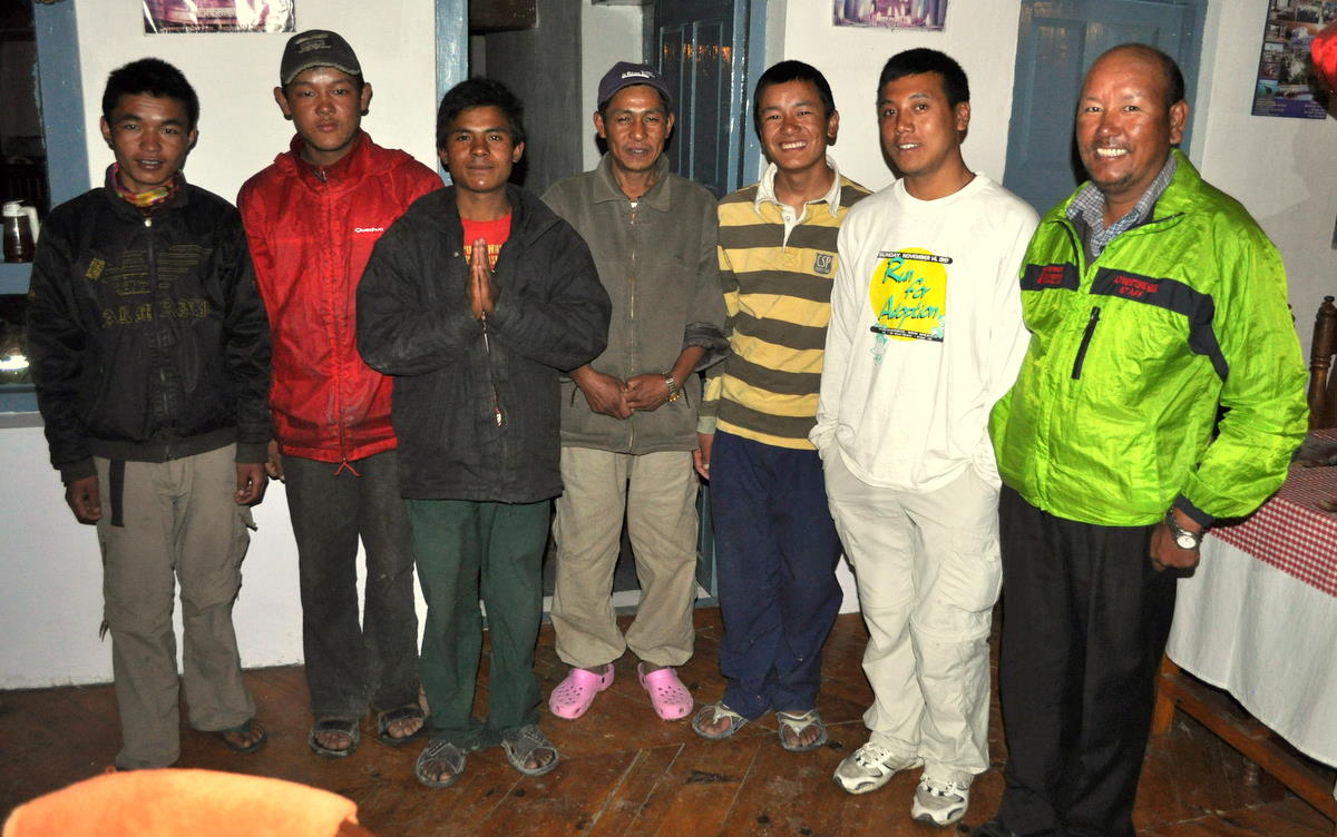
In the evening we had our last dinner prepared by our kitchen staff, who will leave by bus in the morning. From this point on, we will stay and eat in guesthouses, so only our guide Kinna and our porter Dawa Jangbu will continue walking with us. We presented the five departing members their katas (ceremonial scarves) and their obligatory tips.

Day 18 – May 20 – Walking to Tukuche

The next three days were to fill a gap we left in November when we took a bus down the Kali Gandaki valley. Although it was the right thing to do at the time, resting our muscles and getting us to the Annapurna Base Camp while the weather was good, it sped us too quickly through some of the most beautiful mountain scenery on the planet. This time we planned to walk.

In a way, we had earlier been victims of our 21st-century thinking that if there's a road we must naturally take a vehicle. Even with the strike lifted, there was very little traffic on the rough jeep road, so apart from having a wider trail and having to cover our faces from the dust a few times a day, the trail was just as nice as it had been in its earlier times when it had been considered one of the highlights of the Annapurna loop. It had only been in our minds and our tour books that the road had “ruined” this trek.

Since we had already done the 90-minute walk to Marpha on Day 1, we had planned to take the bus that far. But because I needed to do a few essentials on email before leaving Jomsom, we missed the only bus before noon. So we decided to walk even that stretch and then continue on to our destination, the next town Tukuche.

The only trouble was the wind. Because the Kali Gandaki cuts straight through the Himalayas, it makes a 25-kilometer hole in the range. Every day as the plains of India heat up, the winds use this gap to move surplus air toward the Tibetan plateau. The result is a wind tunnel that starts up every day around 10am. We wore facemasks and occasionally had to turn backwards as dust clouds blew by.


On this short day, we were in our guest house in Tukuche by noon, which was fortunate because a big thunderstorm hit immediately after. We spent the rest of this partial rest day relaxing, reviewing Chinese and reading books.

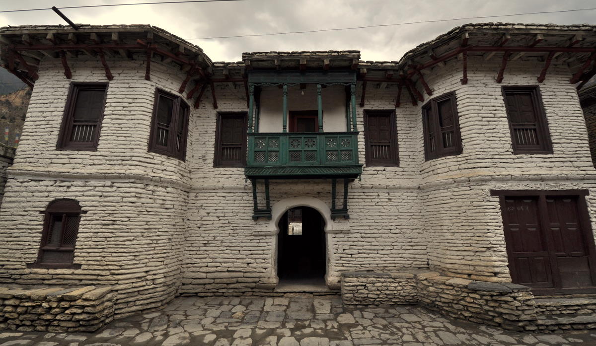
Tukuche's houses were markedly different from the Tibetan styles up the valley. With wooden balconies, they seemed closer to the styles of Kathmandu.

Day 19 – May 21 – Titi Lake

The next stage was to make a short detour to a small lake on a shelf across the valley. This would get us away from the road and give a different view of the mountains.

The first two hours, however, continued down the main route past the base of Dhauligiri, which towered five kilometers (three miles) vertically above the valley. Immediately above us was the huge Dhauligiri icefall, considered unclimbable by the earliest expeditions. The ridge above pointed almost straight at us, so the summit was only a tip on the end. Most climbing expeditions approach the mountain from the back.

At the base of Dhauligiri, the river valley narrows and makes a 90-degree turn to the left. We crossed to the east side and began our detour up to Titi Lake. Our guide had never come this way before, so he took us on one unnecessary trip uphill, but after visiting a few young goats at a shepherd's house, we got back on our track and made it to our goal by lunchtime.

Titi was a very small farming village and the guesthouse was very basic. A dying cow was lying in the space next door. We walked a bit to see the lake, which was just a small pond, then relaxed and reviewed Chinese flashcards for the rest of the afternoon. Our guide cooked dinner for us so we didn't have to repeat dahl baht (rice and lentils, the staple of the locals).

Day 20 – May 22 – The lower Kali Gandaki valley

When we got up at 5:30, the sun was already on the top of Dhauligiri and other high peaks. I took many pictures before the clouds came up.


We got on the trail early and descended to a wide floodplain of a large tributary stream. We rejoined the road and had a drink at what was once the only guesthouse on this whole stretch of the river, now falling into disrepair. A man with a mobile shopping center was sleeping on the steps.

We had agreed that Marcia and our porter would save their legs by taking the bus downhill to Tatopani, our destination for the evening. An opportunity soon presented itself and she was off in a cloud of dust. Actually, she still had to walk a good distance since one part of the road was closed for construction. Afterwards, she got on a different bus and had to wait for over an hour because the driver refused to move until the already packed bus got four more passengers. Marcia finally started a movement for everyone to chip in 45 rupees (60 cents US) to pay for the remaining tickets.

Kinna and I walked about five hours down the road. It was surprisingly pleasant, with varied scenery and occasional views of Annapurna and other peaks. We had missed all this on our previous trip in the bus.

Tatopani means “hot water” and we took advantage of the hot springs just as we had in November. There were surprisingly few people, only a quarter as many as before. Our hotel owner explained that many Europeans had cancelled their trips due to the Icelandic volcanic ash, and others had been prevented by the general strike from traveling by road to the loop's starting point. It's amazing that a volcano in Iceland can affect business in a village on the other side of the planet.

Day 21 – May 23 – The climb to Shikha

Today we repeated the climb we did last November on day 13 of our Annapurna trip. Although we tried to avoid repetition, in this case there is only one reasonable route up the valley from Tatopani. All the alternatives went much higher and required camping equipment, which we had sent back to Kathmandu. It's a beautiful and interesting trail, though, so repetition was really no problem.

The sweltering heat of the lowlands WAS a problem. It had rained hard in the night, so Tatopani felt even more tropical than usual. Even when we started at 7:30, we were already dripping with sweat. We tried to gain altitude as quickly as possible to escape the heat.

The overnight rain had also brought down a small landslide on the road. We walked across it easily but traffic was stopped in both directions. An impatient jeep driver tried to make it across at high speed, but predictably got stuck in the knee-deep mud. It was still there when we passed out of sight.


We climbed steadily all morning and reached our lunch place Shikha about 12:30. Thunderstorm clouds were building too, and the first drops of rain hit just as we were walking in the door. It rained and hailed heavily while we were eating lunch.

Although the rain stopped briefly, we wisely decided to stop there for the night. The clouds opened up again just as we were taking our bags to our basic room. We pitied the German group who had passed us intent on reaching Ghorapani way that night. They would climb most of the afternoon in the rain.

Day 22 – May 24 – Alternate route through the rhododendron forest

Virtually all foreigners and most locals head to Ghorapani and its neighboring lookout Poon Hill, one of the famous viewpoints of the Annapurna Himal. But we had done that in better weather just six months ago, so we took an alternate route through a thick rhododendron forest. Except for a pair of herders, we had the trail to ourselves.

Rhododendrons grow as trees in Nepal. We had hoped to still be able to see their red flowers, but those had long since blown away. Only two isolated trees still had their blooms.

Even so, it was delightful to climb through this temperate rain forest only 20 kilometers south of the deserts on the other side of the mountain. Occasional orchids grew on trees. A few leeches were getting ready for their heyday in the monsoon.


We ended our day at our late lunch stop Deorali. The word indicates a trail summit, and we were greeted by the clouds blowing over the ridge. It was cold enough that we spent the afternoon reading books.