Category Archives: Central Asia 2010

Day 7 – Sept 6 – Upper Tiüz river

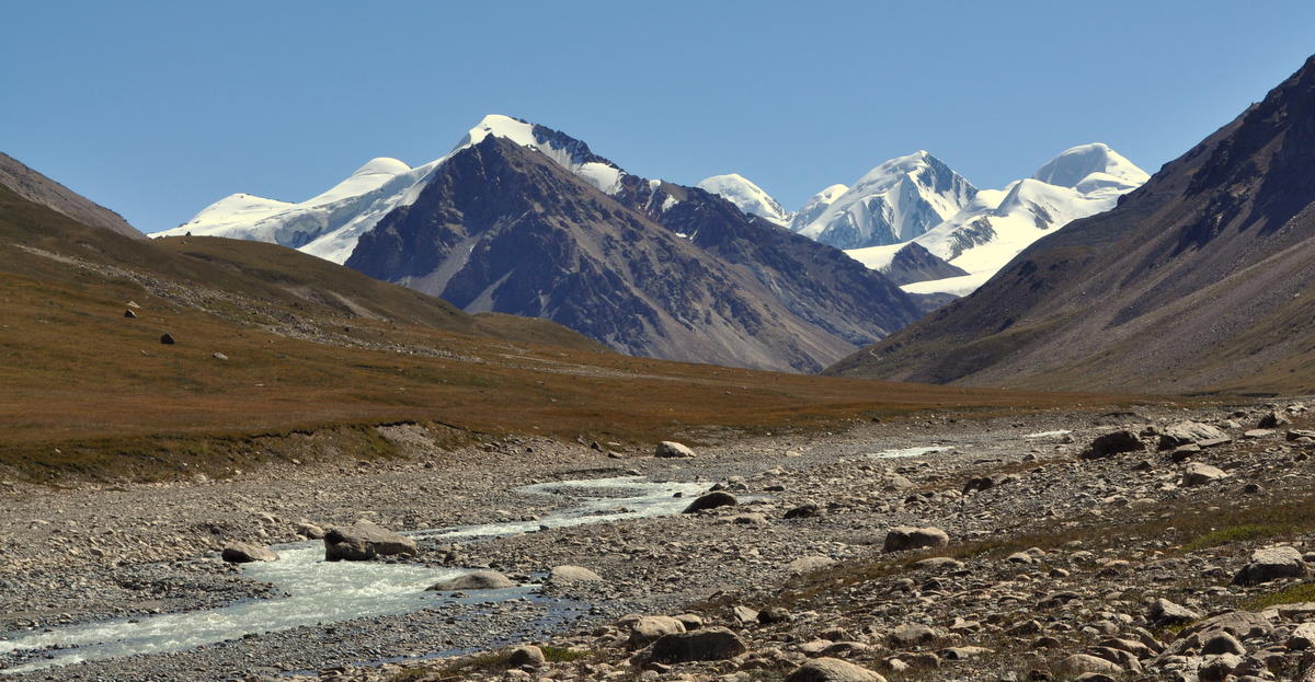
We continued our gradual ascent of the Tiüz river valley all morning. It was cold enough to leave some morning ice on streams.


About an hour into the day, we needed to cross the river, our most serious stream crossing yet. We waded together holding hands so that no one could fall. The glacial water almost reached our knees and was so cold we almost lost feeling by the other side.


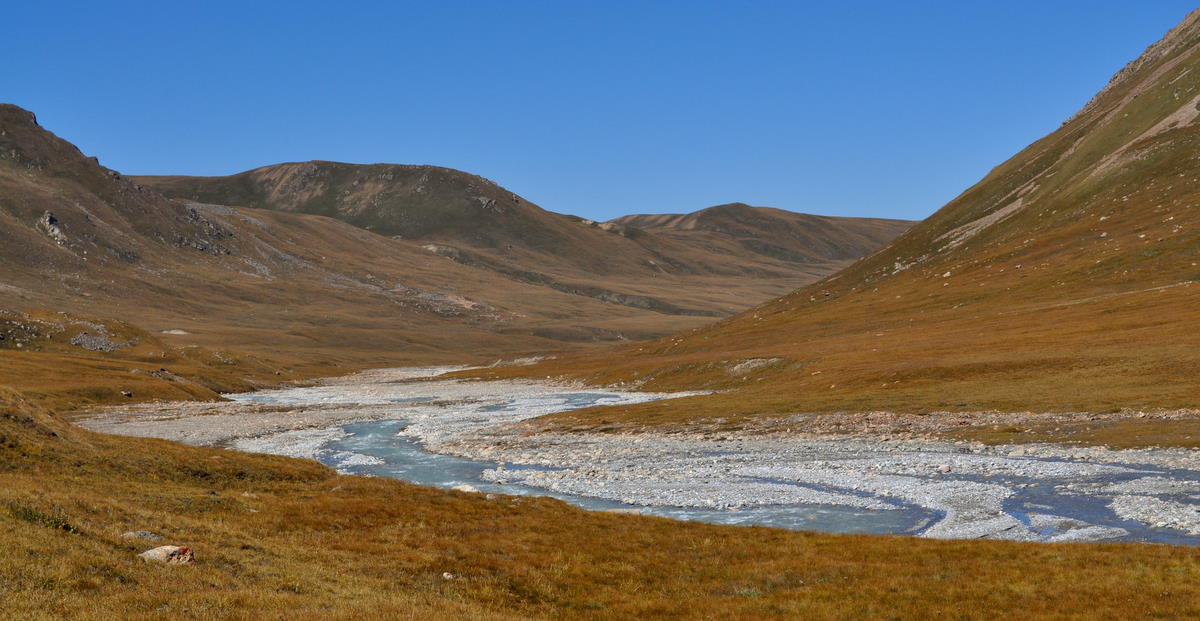
In its upper reaches, the Tiüz river makes several right-angle bends. The geology makes the major valleys run east-west, and the river mostly follows them with occasional north-south jumps to the next valley.

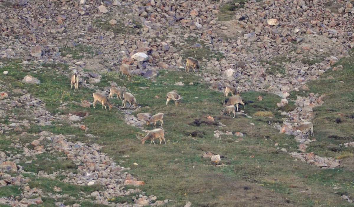
Around noon, we left the main stream and followed a tributary up a steeper hill to the south. This is the way to the Tiüz pass, around two more right-angle bends. We camped near a large rock just before the steepest ascent. There was a flock of blue sheep (bharal) across the valley.

Day 8 – Sept 7 – Crossing Tiüz pass

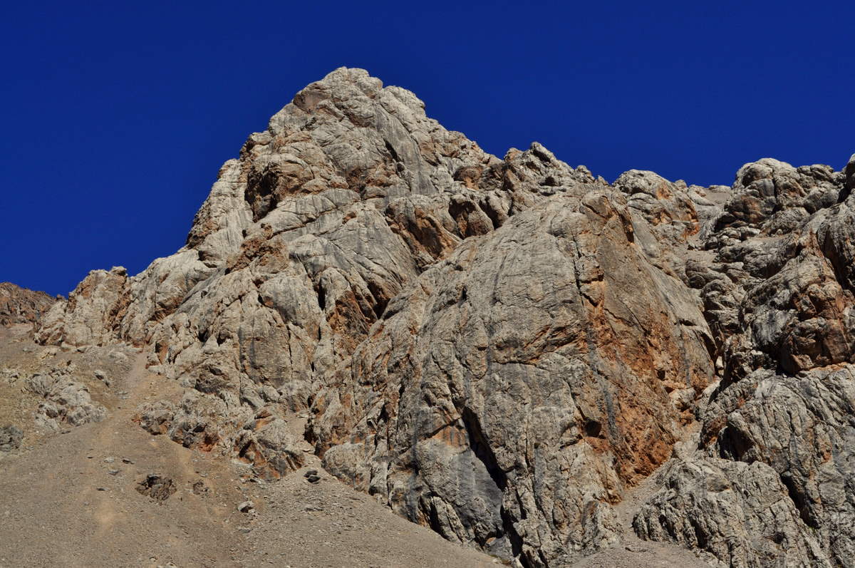
Tiüz pass is more serious than the other passes we crossed earlier. It is 4001 meters (13,100 feet) high and steep on both sides, with some patches of permanent snow. The terrain is a glacier-left desolation of small stones with nothing growing. We could only think of one place in the Sierras that is similarly desolate: the hard-to-reach Ionian Basin.

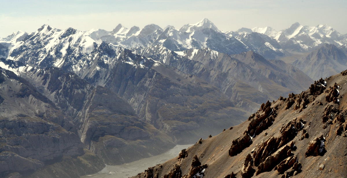
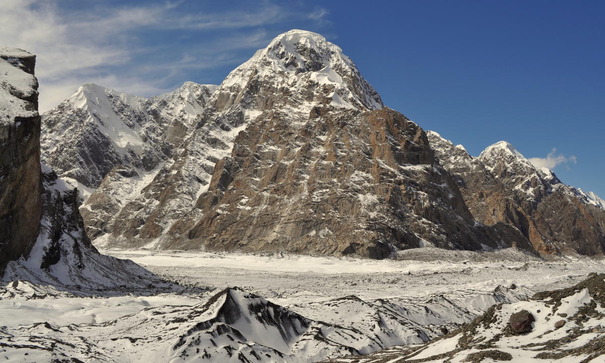
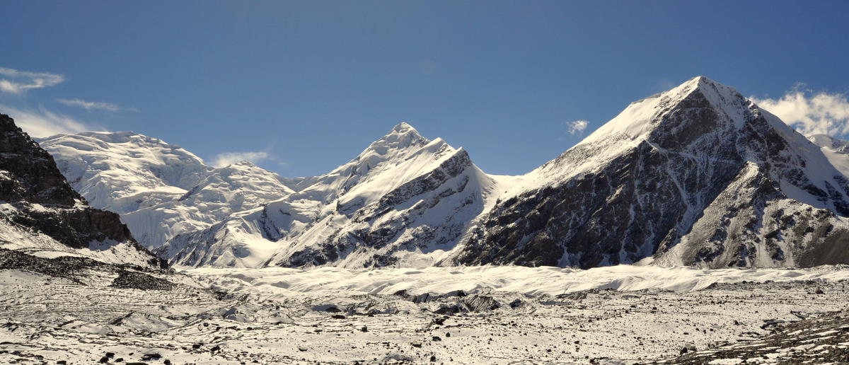
Since we camped high, the final steep climb took only a couple hours even at our stately pace. The view was remarkable, and I accepted our guide's suggestion to climb a small peak for an even better perspective. From there, we could see the entire Inylchek valley and the 60-kilometer-long glacier where we will spend most of the next 10 days. Peaks Khan-Tengri and Pobiedy towered over the top of the glacier. Straight across the valley was the 3000-meter (10,000 foot) face of 5700-meter Nansen peak.


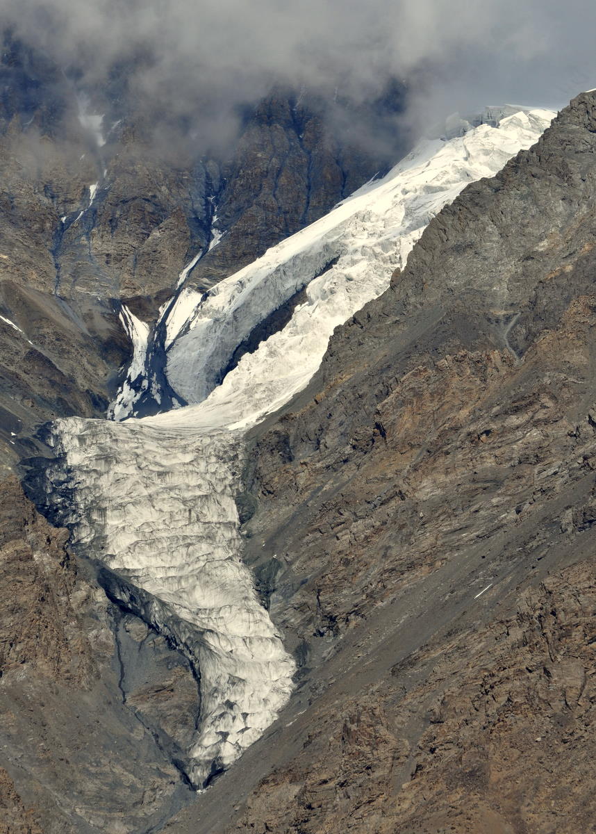
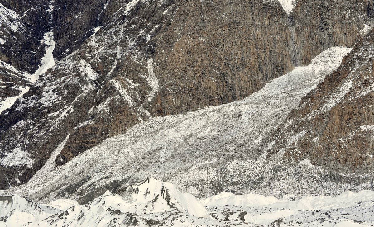
On the mountains above the valley, a mountain glacier flowed across its valley.


The weather was deteriorating after three glorious days. Although the sky was still cloudless when we reached the top, it was growing hazy with water vapor, especially to the west.

The 1200-meter (4000 foot) descent was difficult, especially for Marcia, who continues to favor the knee she hurt many years ago in a skiing accident. I too went slowly to avoid reinjuring my recently sprained ankle. We both made it down without incident.

We camped at a place called Chon-Tash (“big rock”) not far from the foot of the glacier. It had been a long but wonderful day.

Day 9 – Sept 8 – The toe of the glacier

Today was a short day, because we just needed to cross the valley to meet our resupply team. That team consisted of two porters who left Karakol two days earlier with another ten days of food, fuel and toilet paper.

Crossing the valley was easier said than done, because the large Inylchek river issued straight from the toe of the glacier. Wading such a large river was not an option, so our only choice was to use the glacier as a huge snow bridge.


The Inylchek glacier is 60 kilometers long, the third longest temperate mountain glacier in the world. It is also one of the fastest moving at 5 meters per year. This means that the ice at the toe is 12,000 years old, from about the end of the last ice age. At that time, the glacier would have been much thicker, maybe reaching the striations we could see on the canyon walls 500 meters above.

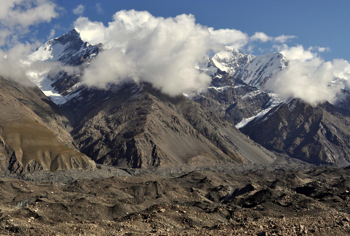
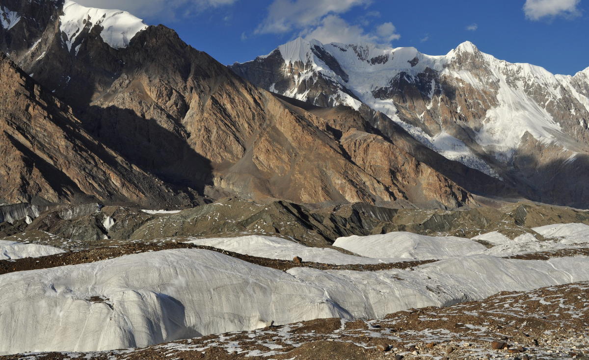
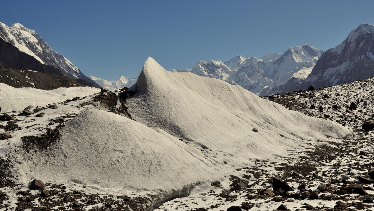
It also means the glacier had had 12,000 years to collect rocks on its top from rockfalls and glacial grinding action. In fact, the surface was so dirty that it was hard to tell where the downstream rubble field ended and the glacier began. But we knew we were on top when we began climbing 100 meters to surmount a crevassed area above the emerging river.

We had the afternoon off once we reached the resupply point. That was unfortunate because the weather was still reasonable for hiking, but our team needed to sort the new food and the next campsite up the glacier was too far to reach before dark.

Day 10 – Sept 9 – Up alongside the glacier

Today we began our route up the south side of the glacier.

We actually spent very little of this first day on the glacier, because the trail climbed the lateral moraine on its side. In many ways, we would have preferred the glacier, because the trail climbed through numerous slopes of unstable rocks. One difficult stretch almost defeated Marcia and it ran a greater risk of rockfalls than I like to take. I asked our guide to find a safer way on the return back down to the valley.


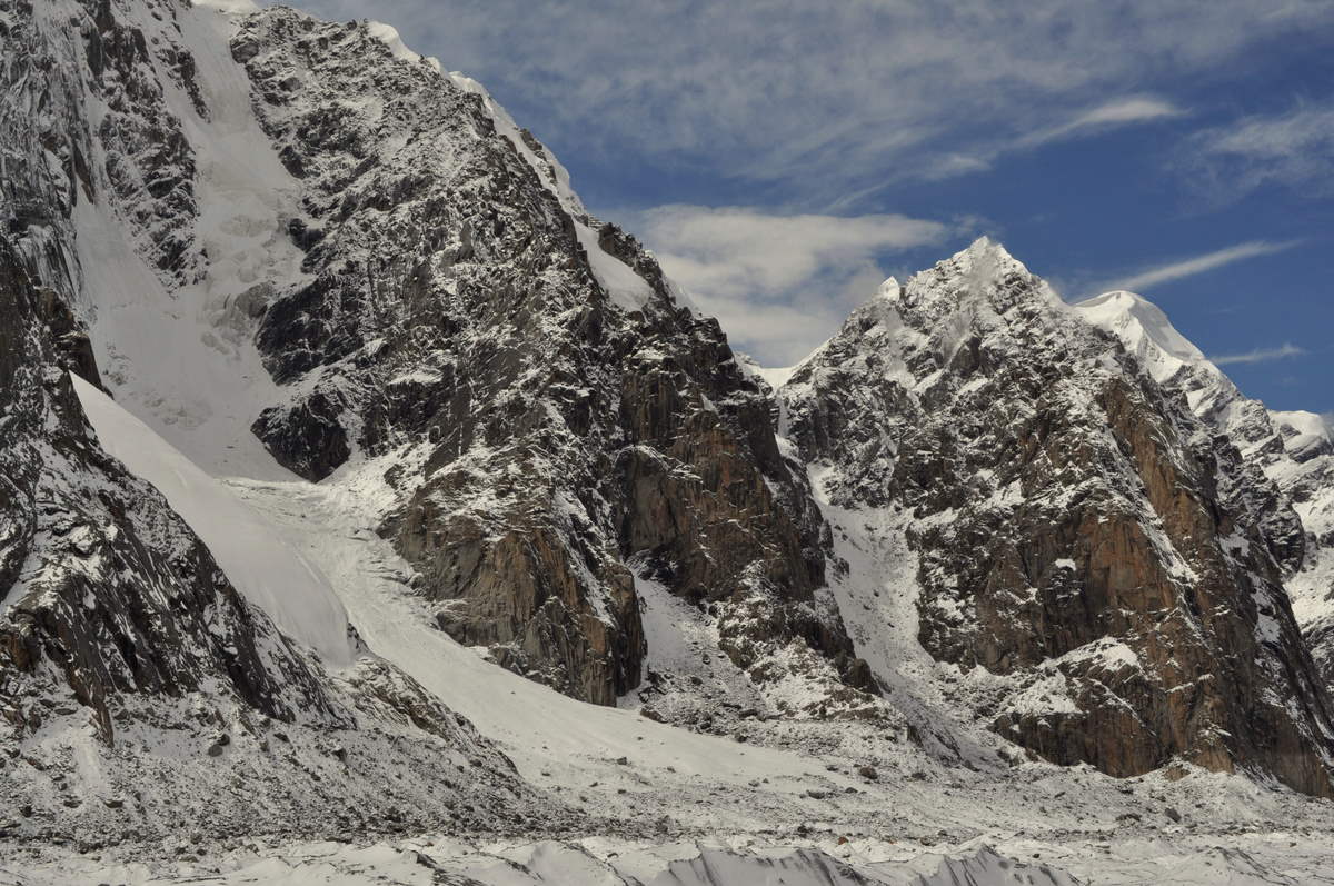
We did cross one stretch of glacier where a smaller glacier came in from the side. In many ways it was easier than hiking on the moraine, although we had to take several ups and downs to avoid places where the ice was unstable.


Our camp was in a flat area missed by the glacier's incessant scouring. Unfortunately, even after six hours of difficult hiking, we had not made it as far as we had originally planned. And with the weather increasingly bad, it seems we have just used up our spare day.

It was snowing lightly as we went to bed. We hope that will not set us back further in the morning.

Day 11 – Sept 10 – Merzbacher Meadow

Today was a short day going the rest of the way to Merzbacher Meadow, an established camping place overlooking the glacier. The hike was a relatively easy four hours along the lateral moraine.


The meadow had an old mouse-infested hut and five spiffy new dwellings airlifted in by German researchers from GFZ Potsdam, who were doing some high-tech glacial monitoring. In a way, they were following their compatriot Merzbacher, who had been one of the first explorers of this area in 1905. All of the huts were deserted for the winter, though they had kindly left their pit toilets open. We slept in our tent to avoid the mice.

We discussed our plan with our guide and interpreter. I was concerned that because of the limitations of camping sites on the glacier we would be forced either to miss our goal of getting to the high peaks or to do a series of inhumanely long hiking days to get out. I was also hoping to change our itinerary to go up the valley now while we appeared to be entering a stretch of good weather. Our guide explained that we had to stop for a day here to give the porters rest, but we could have ample time for our goals up the valley if we camped in alternative places on the glacier. We had no choice but to agree.

Day 12 – Sept 11 – Merzbacher Lake

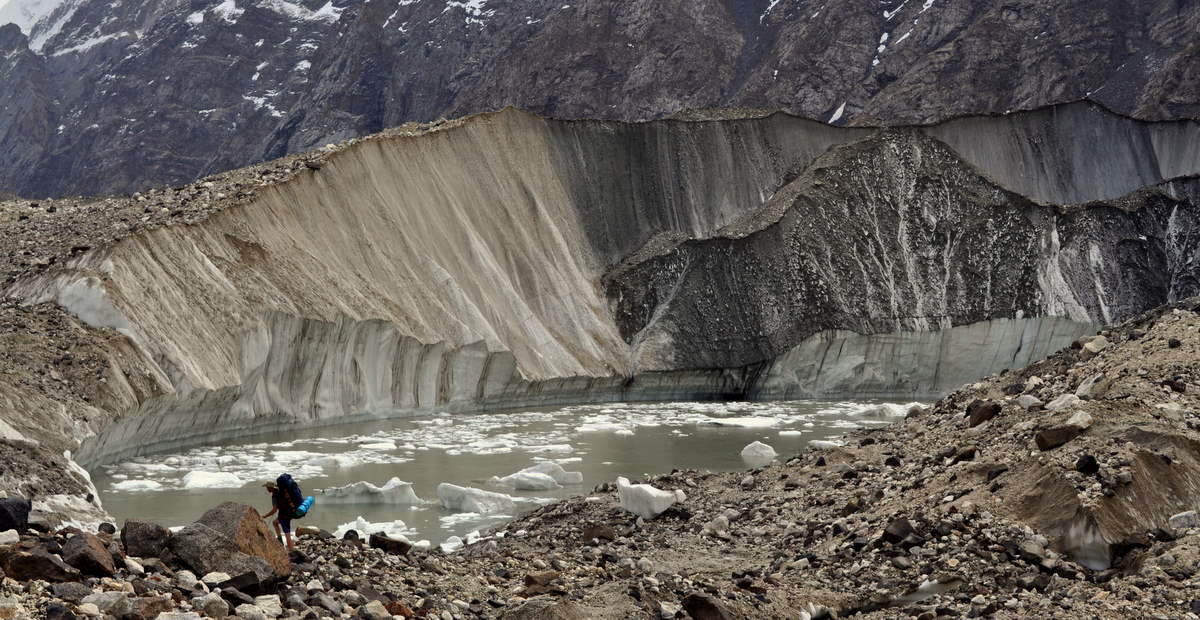
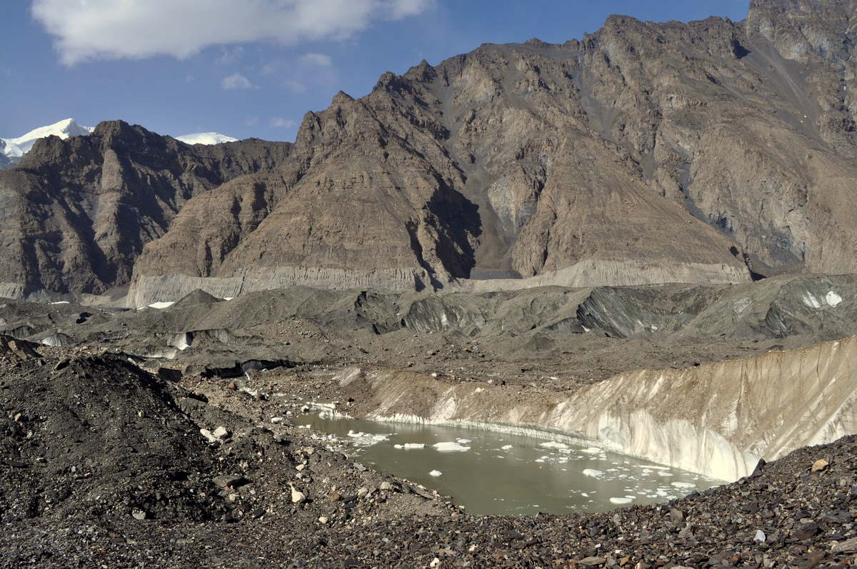
Today was a rest day for our porters and a dayhike for us to Merzbacher Lake, an interesting feature on the other side of the glacier where the North Inylchek Glacier used to join the main glacier out of a side valley. Due to glacial retreat that started long before global warming, the north glacier now ends a few kilometers uphill, and a large lake and a unique set of icebergs fill the gap.


It is a lake only one or two months of the year. As glacial and snow melt increase in the early summer, the lake fills with water. As it grows large enough to touch the north glacier, chunks of the toe calve off as icebergs into the lake just as in Alaska's Glacier Bay and other seaside glaciers. The icebergs float down and collect near the main glacier, plugging the lake's underwater outlet. Once the water level rises high enough to float the ice around the end of July; the plug opens and the lake drains in a huge flood under the main glacier and down the valley below. This time of the year the lake is empty, leaving its icebergs sitting on the bottom.


Walking across the glacier is challenging. Although the Inylchek Glacier is flat enough to avoid the deep crevasses that make mountain glaciers dangerous, it still has many ups and downs and cracks that we had to avoid. The surface is mostly rocky with boulders of many types, including white marble. It took us two and a half hours to cover four kilometers across the grain.


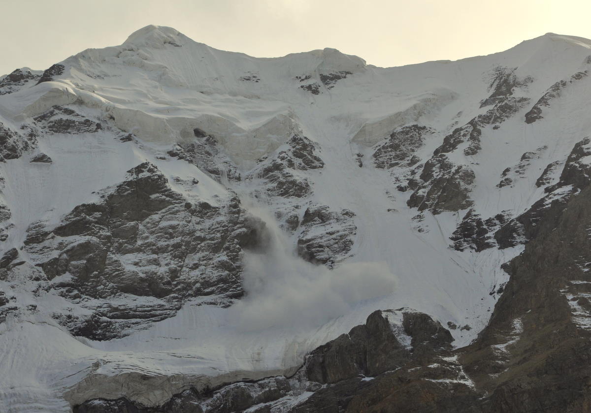
The weather, which we thought would be clearing, turned unpredictable. For a few hours it got cloudy and threatened to rain or snow, but then cleared up for some dazzling afternoon views. We saw several avalanches come down the mountains.


We had borscht for dinner to prepare for the long hike of the next day.

Day 13 – Sept 12 – A long hike up the glacier


We knew this would be our longest day hiking eight hours up the glacier. There were no good campsites in between, and some of the route was reportedly challenging.

The weather was also uncooperative. Morning clouds warned us of precipitation, which turned out to be snow. Fortunately, there were also periods of sunshine, so we could put up with a couple of hour-long snow showers. The glacier's rock cover was warm enough to melt the snow immediately.


The glacier walking was not as hard as we had feared. This time we were going with the grain of the glacier, so long stretches were like hiking up a rock-covered valley. There were several sections, though, where we had to go up and down and around ice cliffs and glacial lakes. And we had to cover a long distance, so we were both quite tired when we reached camp.


Soon after we arrived, another snow shower hit and left about 5 centimeters (2 inches) of snow on the ground. We ate dinner inside our very small tent and hoped for better weather in the morning.

Day 14 – Sept 13 – Snow day

Alas, it snowed more in the night. It only left about 10 centimeters (4 inches), but that was enough to upset our plans. Walking on a glacier is tricky enough even when you can see the rocks, but walking on top of a blanket of snow is dangerous.


So, instead of moving up to the end of the glacial valley, we could do nothing but sit in our tent and read. And with the end of our time approaching, we would not have enough time to go up to the base camp with the best mountain views, which had been our ultimate goal. At best we might be able to make a dayhike further up the valley if weather was good the next day.

At least it was beautiful.


Clouds continued to blow through all evening, but no more snow. The clouds continued in the night and we resigned ourselves to going down a day early.

Day 15 – Sept 14 – An unexpected dayhike up the glacier

In the morning, our guide came to the tent to discuss our plan. It was still cloudy, but he seemed surprised when I said we had agreed to go down today. But happy to get out, he didn't object.

As the team was finishing packing around 9am, we realized what a mistake we had made. The weather was clearing and it was going to be a spectacular day. Our guide offered that we could take a ona-hour hike before leaving, but that would have made it a really long day. Marcia wasn't interested and she didn't want to wait while I did it. Almost in tears, I realized a one-hour hike wouldn't make things any better, since the big mountains were further away than that.

As a last resort, I made a face-saving proposal. Instead of going downhill today, maybe we could move the camp one or two hours up the valley and then do a more substantial dayhike in the afternoon. To my delight, the team (and Marcia) agreed.

We reached our new camp in about 90 minutes, but already Marcia's poorly waterproofed boots had made her feet wet and cold. It was probably good we hadn't gone eight hours downhill in the snow like that. With the bright sun, more snow should have melted by tomorrow, and the long trip downhill should be easier. Not as interested in the high peaks as me, Marcia elected to skip the dayhike and spend the afternoon in the tent.

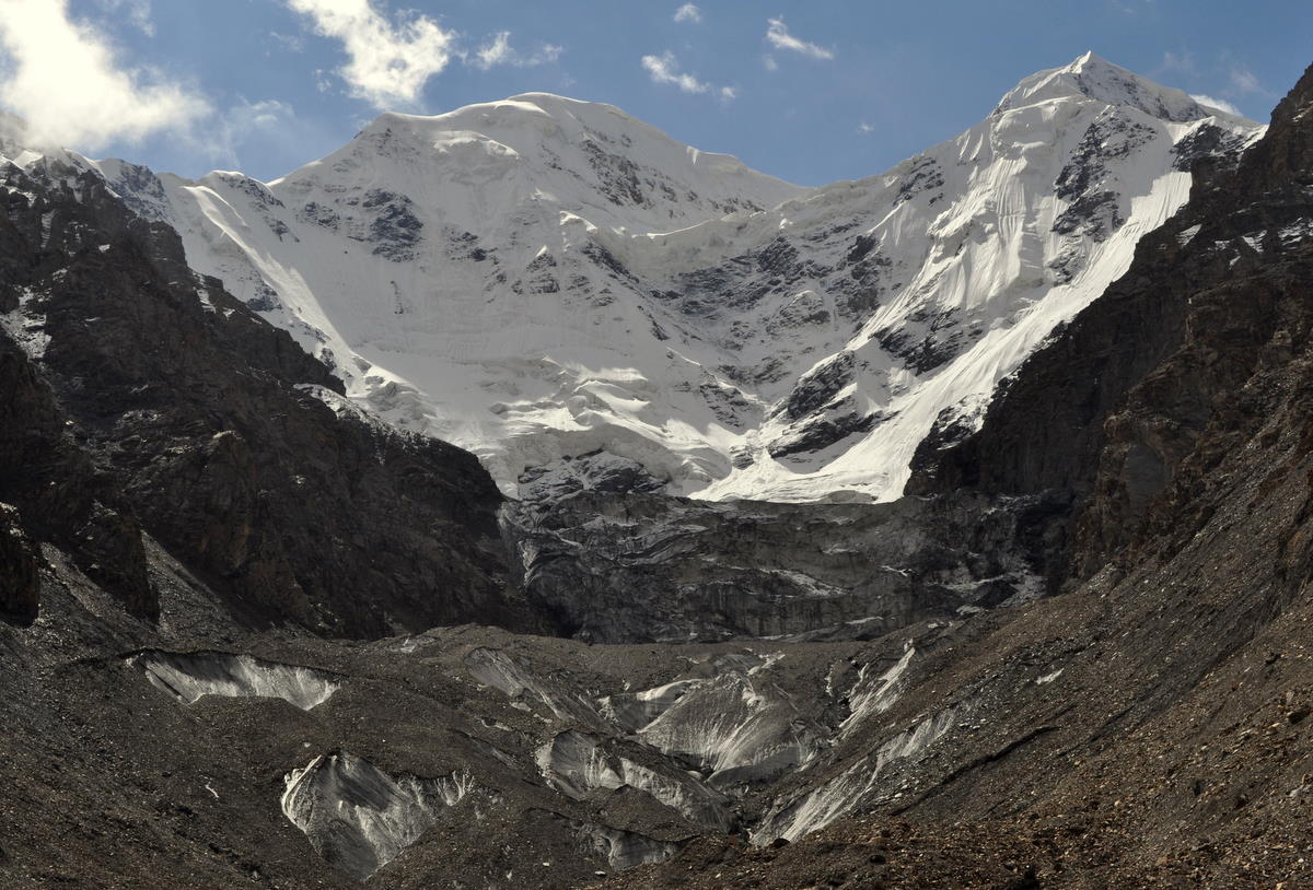
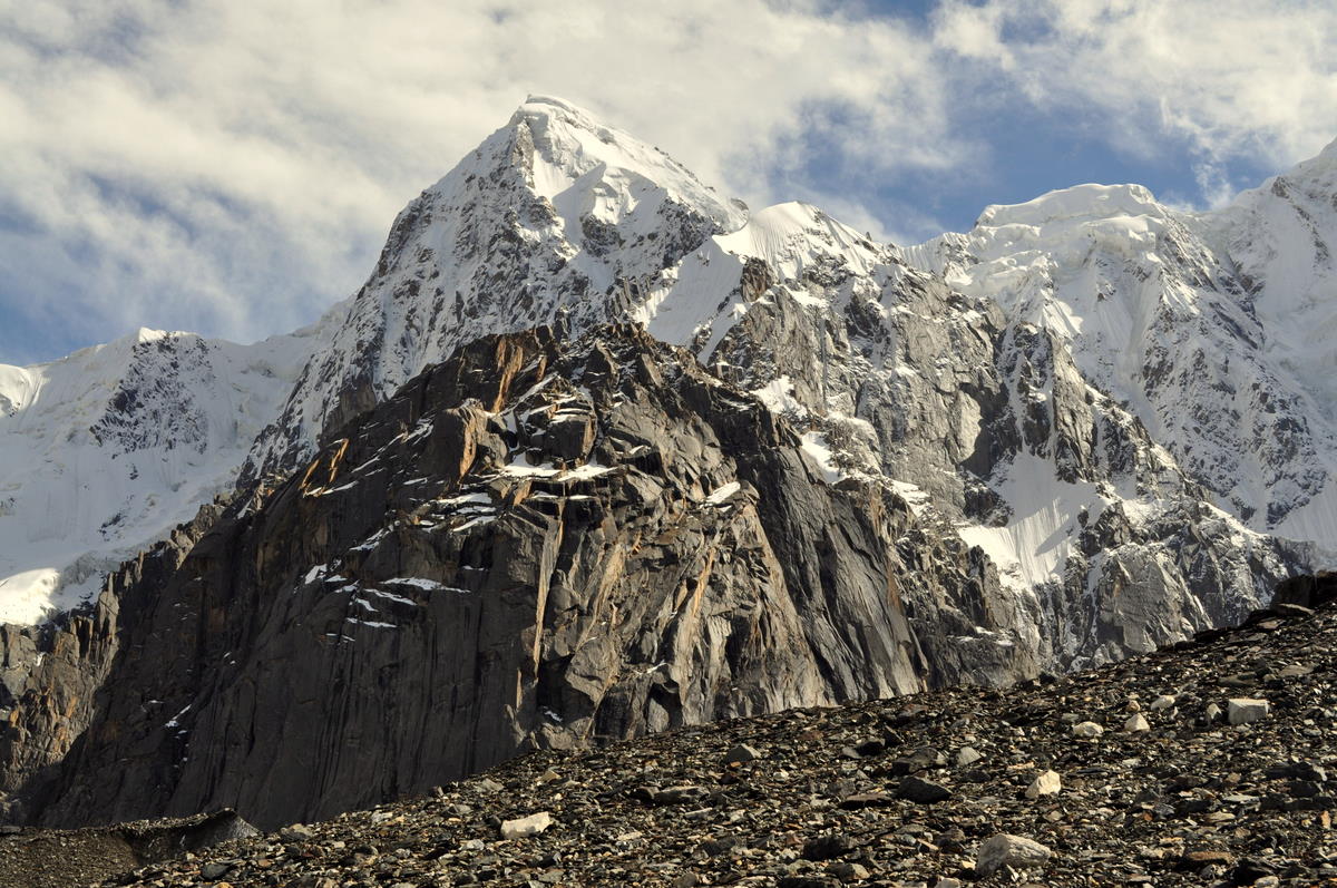
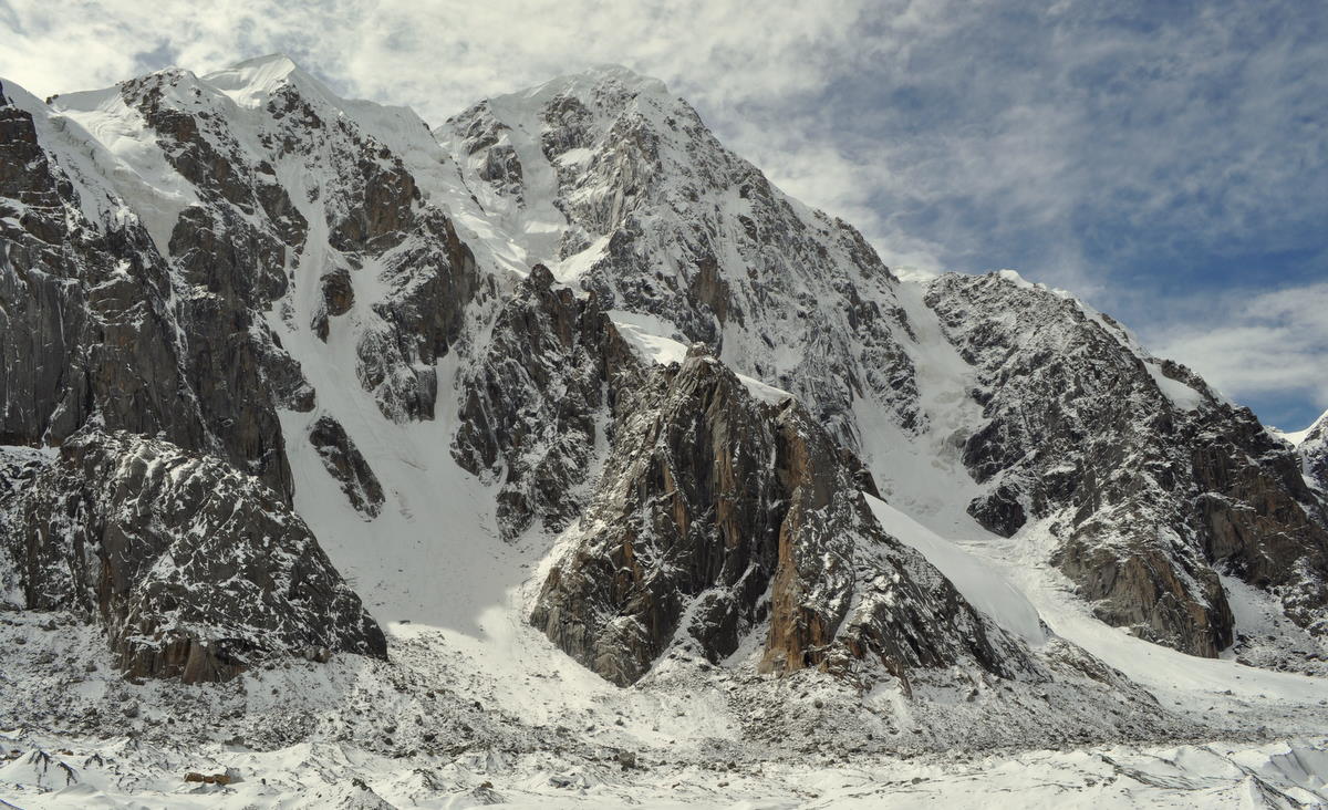
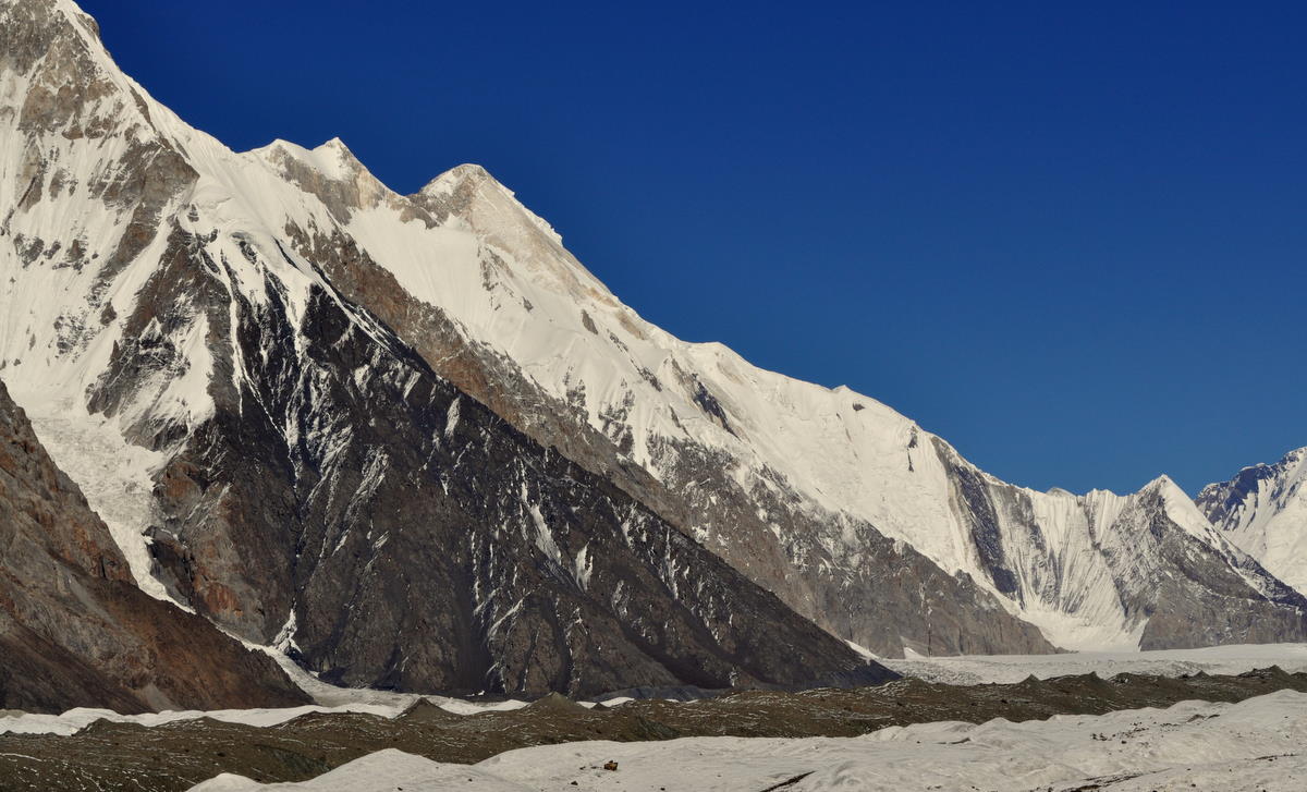
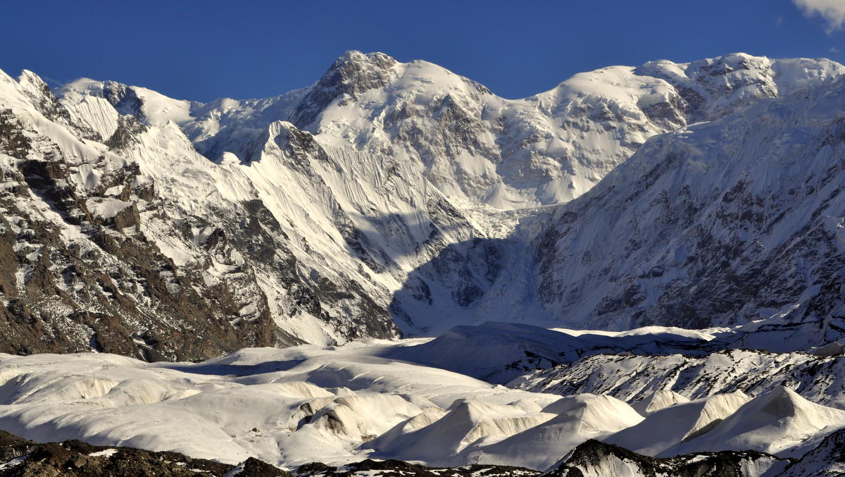
Ah, what scenery! We went about two hours further up the valley, though not quite to the base camp. Glaciers sparkled and the high peaks were spectacularly clear. We were able to get a good view of the avalanche-stroked south face of 7000-meter (23,000 foot) Khan Tengri. The views were still oblique and not the classic Matterhorn-like perspective, but it was the best we could do under the circumstances. The elusive 7450-meter (24,400 foot) Peak Pobiedy remained hidden behind other peaks, but at least we had seen it from the passes the week before. I returned to camp tired but satisfied.


Day 16 – Sept 15 – Down the glacier

This was a long and difficult day that began our trip back down the glacier. Because of limited campsites, we had to make it all the way back to Merzbacher Meadow, reversing the route of Day 13 plus the 90 minutes we had walked further yesterday. At least it was mostly downhill.


The first part of the day went quickly, as our guide was able to find a way across a shortcut that had not been possible on the way up in the snow. This saved us at least an hour since we no longer needed to walk all the way around a large glacial lake.


Further down, however, we found that due to higher meltwater, we could no longer cross a glacier-top stream and an icebridge that had simplified the passage across a difficult side glacier. So we had to take another route across difficult glacial ridges and a long stretch of boulders on top of the glacier. Finally we made it to the moraine and up to Merzbacher Meadow, where we had camped two nights earlier in the trip. It had taken us nine hours.

Although the snow had mostly melted, falls were almost inevitable on the loose rock and slippery glacial ice. Both Marcia and I slipped several times, and I once cut the palm of my left hand, fortunately not badly. I managed to avoid reinjuring my ankle, which was still hurting and weak from the fall I had taken in Canada.

Unfortunately, there was a new sprained ankle in our team. The young woman interpreter Jennia, athletic though inexperienced at hiking, had gone with the porters so that she could hike fast. Being fast and strong, the porters leaped across the stream and icebridge that our guide had wisely turned us back from. Trying to keep up, Jennia also tried to leap but came down on the side of her foot, spraining her ankle quite badly. The porters had to mostly carry her to camp, arriving only a few minutes before us.